By DoodleLearn · Evidence-informed guide
A world map gives students plenty to notice before they can name every place. Where does land meet water? Which shapes look familiar? What might a symbol mean? Geography coloring activities turn observations into conversations. Students can trace coastlines, build a color key, compare locations, and explain choices while using a shared visual reference.
This guide pairs foundational geography with ten classroom activities for kindergarten through grades 4–6. Each activity includes a learning objective, materials, instructions, a discussion question, and an actual printable recommendation. Grade bands are starting points, not fixed expectations. Adjust reading, writing, visual detail, and adult support to fit your group.
The eleven companion resources are real individual worksheets, not an existing geography-specific pack. Coloring can support observation and discussion, but a completed picture alone does not establish geographic understanding. An unfinished sheet with a thoughtful explanation can be more informative than a perfectly colored map with misunderstood labels.
Coloring offers opportunities for practice and enjoyment. The research does not make every benefit certain, and coloring is not a substitute for instruction, therapy, or medical care.
Download Classroom PrintablesContinents & Oceans Explorer
North America
North America extends from Arctic regions toward the tropics.
Map marker: approximately 46° north, 105° west. This locates a region, not its boundaries.
Natural Earth land outlines, equirectangular projection. Continent models vary; this guide uses seven continents and five connected ocean regions. No national borders.
Start with accurate maps and clear questions
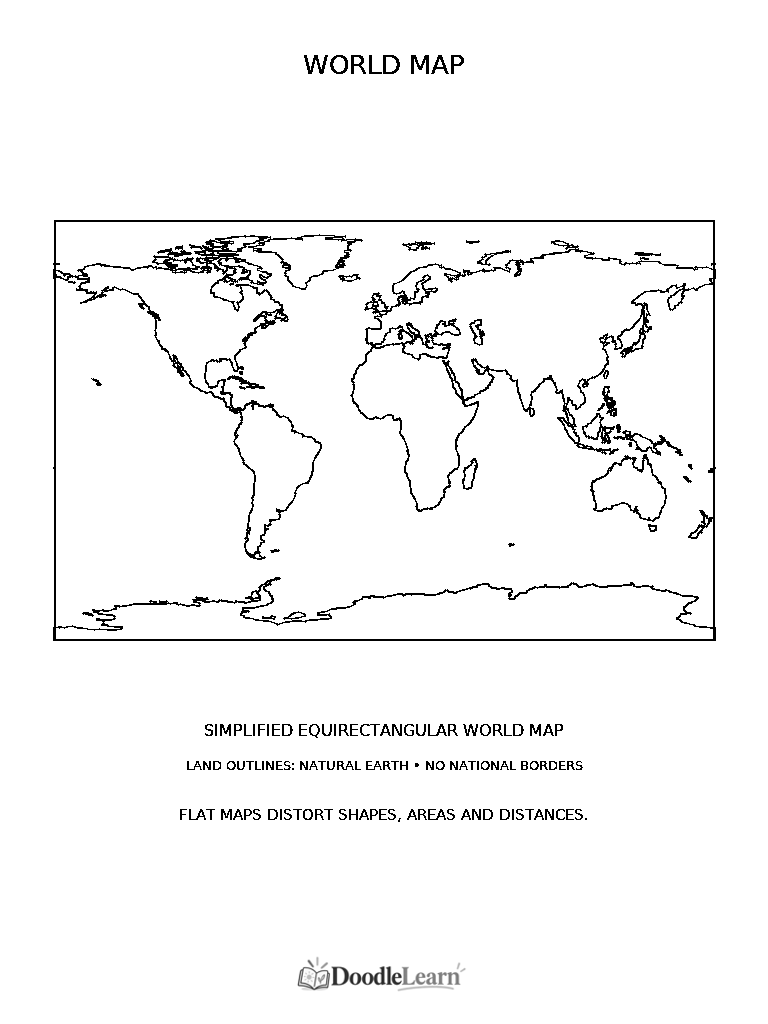
Use Blank World Map for an uncluttered starting point, Seven Continents Map for regional labels, and Five Oceans Worksheet for named water regions. Preview each sheet before teaching and provide a large shared reference. Other companions cover directions, mountains, rivers, islands, landmarks, legends, and an invented physical-geography scene.
The three world maps use Natural Earth public-domain land data in an equirectangular projection rather than invented coastlines. Land outlines show where land meets water; they do not establish country or continent boundaries. The continent map labels regions without drawing a guessed Europe–Asia border. Coloring choices should not be presented as national borders.
A globe models Earth’s curved surface, while a flat map uses a projection to represent it. Equirectangular maps place longitude and latitude on a rectangle but distort shape and area, particularly near the poles. Compare with a globe rather than judging real-world size by the colored patches. The printable explicitly names its projection and generalized source.
Model one evidence-based choice on a shared map, then ask students to explain their own choices rather than copy a finished color scheme.
The seven-continent model
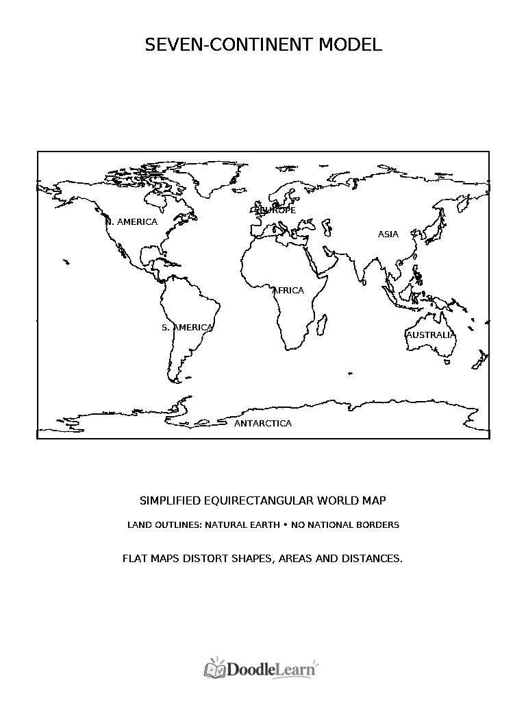
This guide uses North America, South America, Europe, Africa, Asia, Australia, and Antarctica. Continents are broad geographic regions, while countries are political units. One continent can contain many countries. Europe and Asia are physically joined, so their conventional separation cannot be found simply by tracing a coastline.
North America stretches from Arctic environments toward tropical regions. South America includes the Andes along its western side. Africa crosses the equator. Asia is the largest continent in this model. Antarctica surrounds the South Pole and is largely ice-covered. These observations introduce location; they do not reduce each region to one landscape or one type of person.
Australia is the continent label used here. Oceania is a broader geographic region including Australia, New Zealand, and Pacific island groups. Educational systems use different continent models: some combine Europe and Asia as Eurasia, or combine the Americas. Explain which convention your lesson follows without presenting other established models as mistakes.
Five regions of one connected world ocean
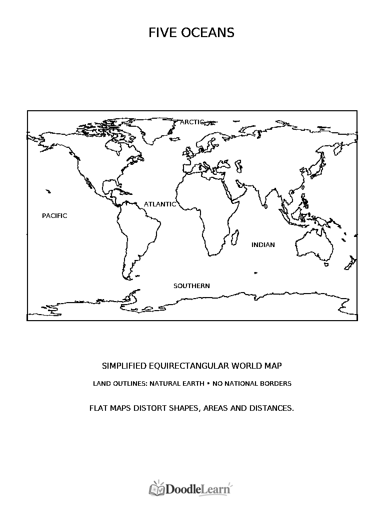
The five named ocean regions are Pacific, Atlantic, Indian, Arctic, and Southern. The Pacific is the largest; the Atlantic lies between the Americas and Europe and Africa. The Indian lies south of Asia, between Africa and Australia. The Arctic surrounds the North Pole, while the Southern encircles Antarctica.
These names describe parts of one connected global ocean, not five sealed containers. There are no walls separating their water. Many rectangular world maps show the Pacific at both edges because a continuous surface has been cut open for display. Turn a globe to show how the two printed Pacific portions connect.
Ocean labels on the worksheet mark recognizable regions, not precise survey boundaries. Use the explorer to locate each name, then ask students to trace a possible water journey without crossing land. For an older group, compare two map layouts and explain why the same ocean can appear in different places on the paper.
Maps, globes, symbols, legends, scale, and projections
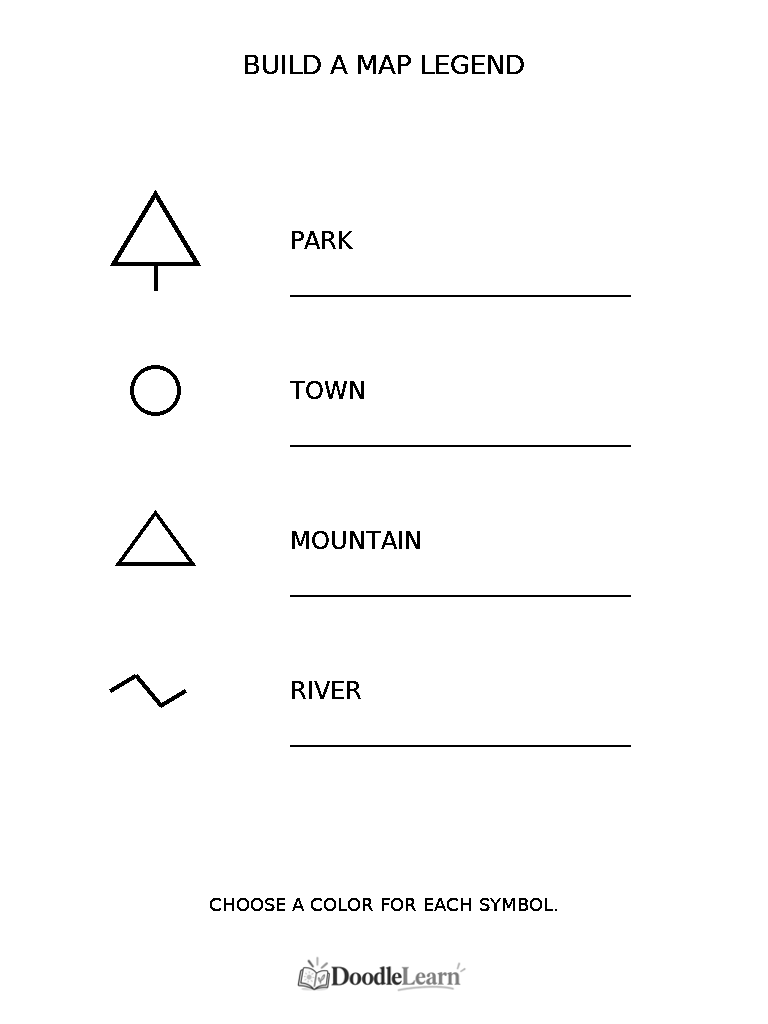
A map has a purpose. A road map emphasizes routes, while a physical map emphasizes terrain. A title tells readers what they are looking at, and a legend explains colors, lines, and symbols. Blue may indicate water, but students should check the key instead of assuming every blue shape means the same thing.
Include labels, patterns, or symbols so color is not the only route to understanding. Our legend activity uses a tree for park, circle for town, triangle for mountain, and wavy line for river. Those are examples of a chosen convention, not universal symbols that must appear on every map.
Scale relates map distance to distance on the ground. Practice with a clearly labeled pretend classroom scale or a real map’s supplied scale. Do not invent a reliable kilometer conversion for the unscaled world outline: distortion changes across the projection. A simple drawing marked not to scale remains useful for relative positions but cannot support trustworthy ruler measurements.
No flat projection preserves every shape, area, direction, and distance at once. For elementary students, compare the globe with the flat map and ask what looks stretched. Grades 4–6 can explain why enlarging a world worksheet does not remove its distortion or turn it into a survey map.
Compass directions, including the diagonals
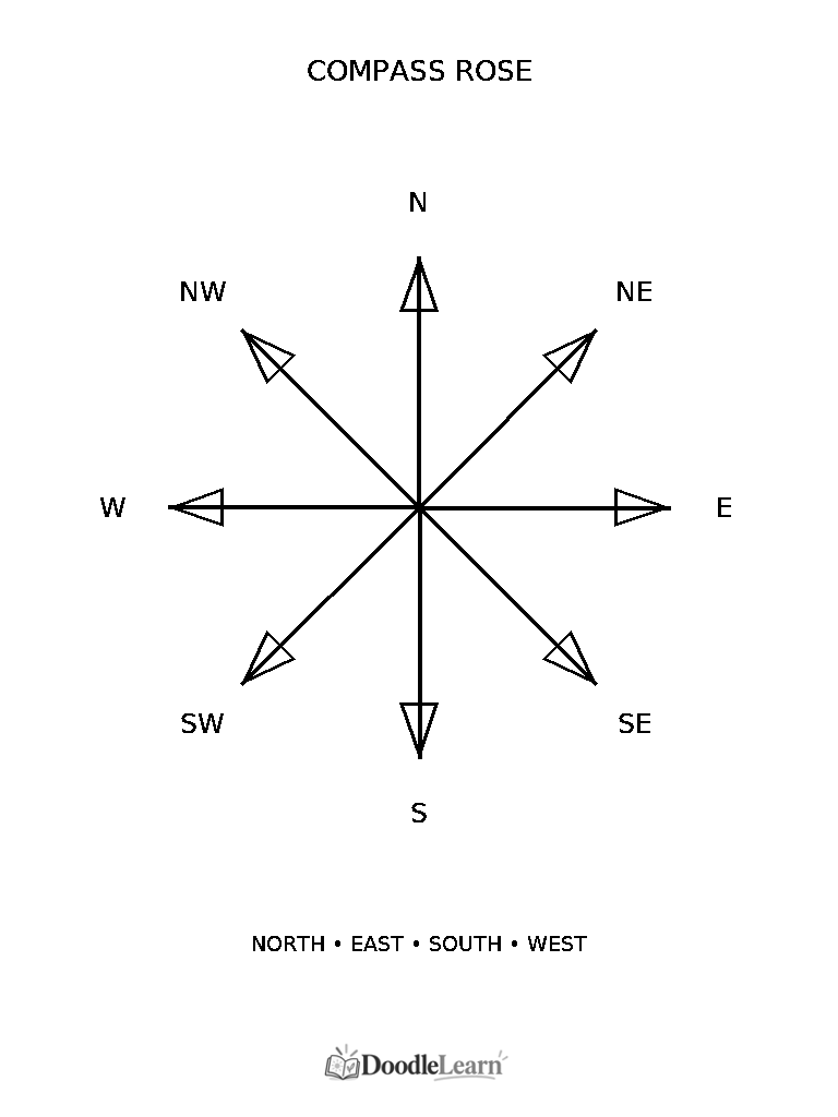
Begin with north, east, south, and west. The compass rose adds northeast between north and east, southeast between south and east, southwest between south and west, and northwest between north and west. Trace the directions clockwise and identify opposite pairs before trying a route task.
North often appears at the top of classroom maps, but not always. A compass rose states orientation; it does not automatically tell a student which way their body faces. Rotate the page and use the printed north marker rather than replacing directions with left and right. A teacher-drawn grid is enough for practicing one or two short routes.
Landforms and physical geography
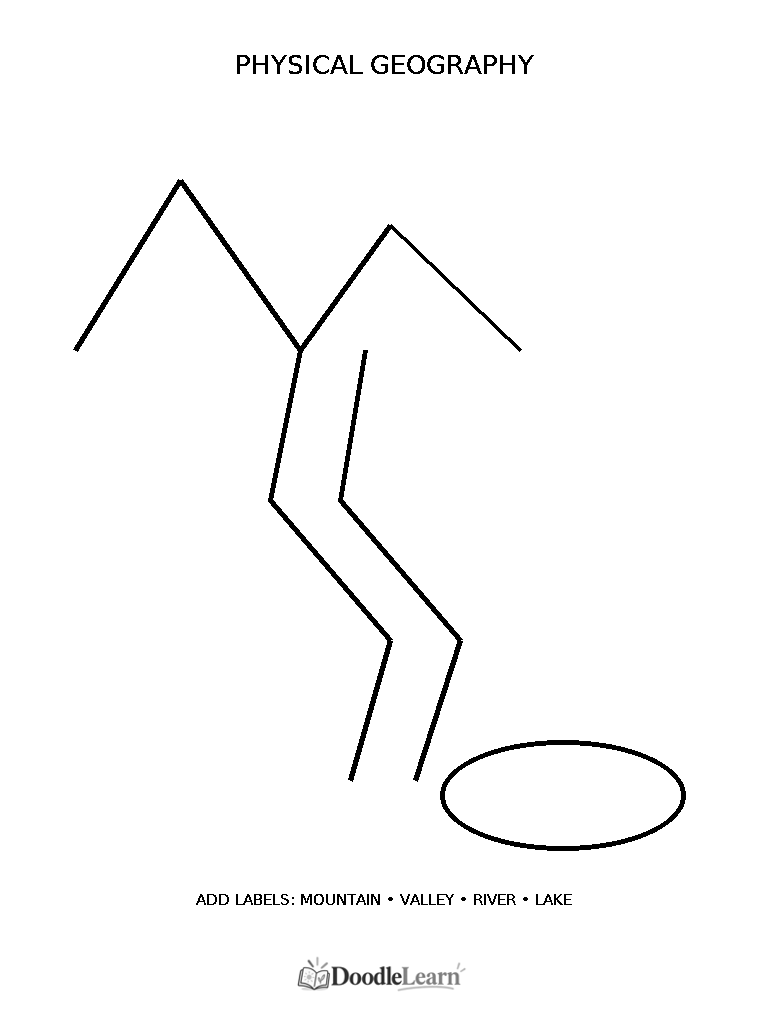
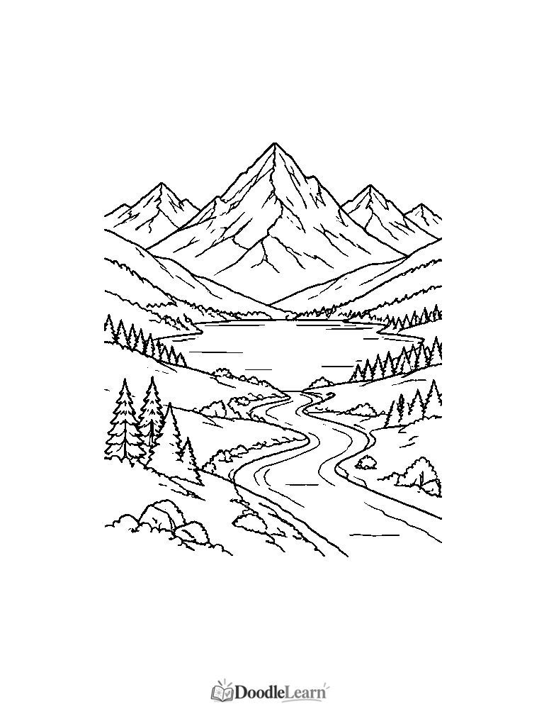
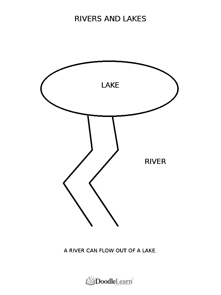
A mountain rises prominently above surrounding land, and a valley is a lower area between higher ground. A river flows along a channel, while a lake occupies a basin surrounded by land. Rivers can enter or leave lakes. Flow direction needs evidence such as elevation or arrows; the top of the paper is not automatically upstream.
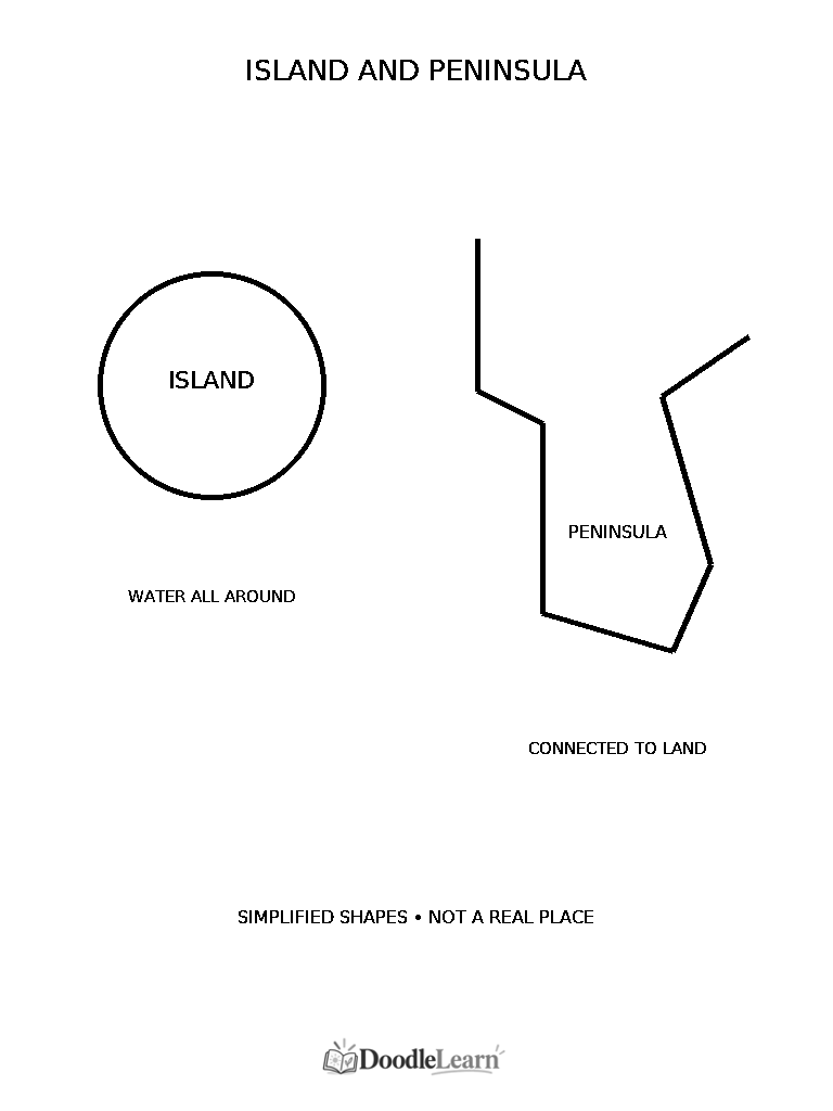
An island is surrounded by water; a peninsula remains connected to a larger landmass while water borders most sides. A desert receives very little precipitation and may be hot or cold. A plain is a broad area of relatively level land. Features can coexist: rivers cross plains, and valleys can contain lakes.
Use the invented physical-geography worksheet to add mountain, valley, river, and lake labels. Desert and plain comparisons can be drawn on separate paper or explored in an atlas; they are not printed as separate features on that sheet. Colors classify features here, not a claim that every mountain is brown or every desert yellow.
Countries and landmarks without stereotypes
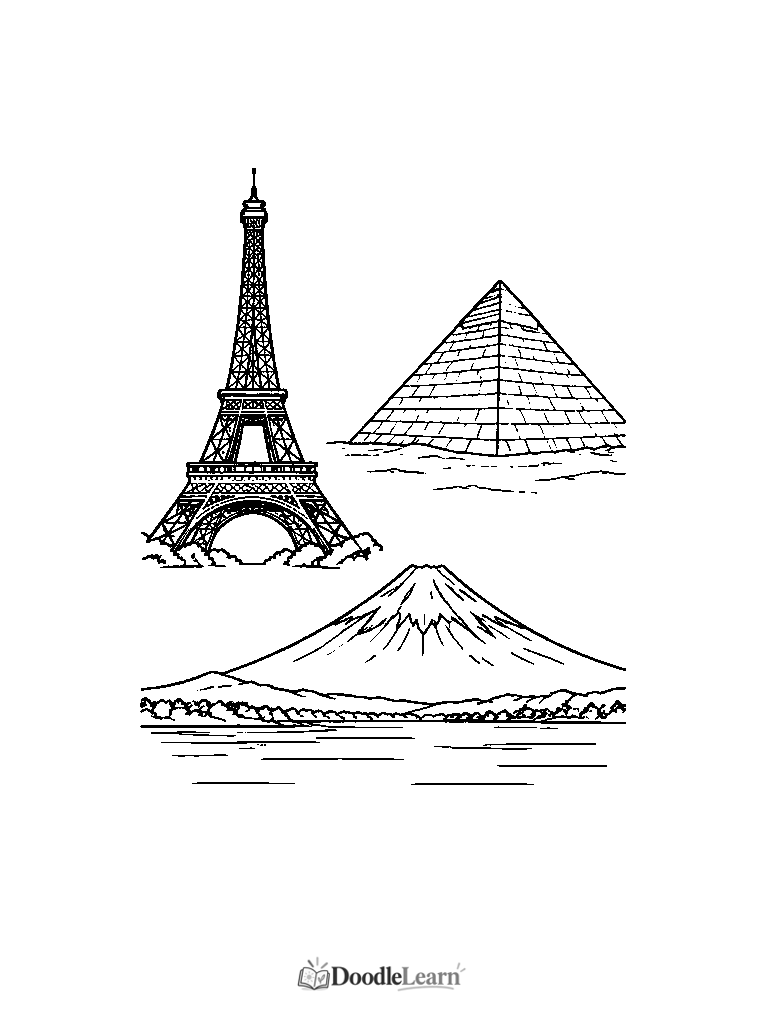
The landmark drawing includes an Eiffel Tower outline, a pyramid, and Mount Fuji. The Eiffel Tower is in Paris, France; the Great Pyramid of Giza is in Egypt; Mount Fuji is in Japan. Locate these with an up-to-date atlas rather than treating the drawings as country borders. Mount Fuji is a natural landmark; the other two examples are built structures.
A landmark cannot represent all landscapes, people, or traditions within a country. Pair each with contemporary place information and invite questions about environments and everyday life. Avoid costume-based stereotypes or statements that every resident lives near the pictured landmark. Students can investigate another place without needing to reduce it to an icon.
Flexible geography activities by grade
Kindergarten: prioritize pointing, matching, and land versus water with a small number of features. Grade 1: add spoken names, island comparisons, and short cardinal-direction routes. Grade 2: build simple keys and label a few regions. Use prepared word cards when handwriting would obscure geographic reasoning.
Grade 3: ask for comparison sentences and explanations supported by a map or globe. Grades 4–6: evaluate source limitations, projection, and scale; compare information that different map types provide. These options remain flexible in mixed-age groups. A younger student may enjoy a complex question while an older student prefers a clear tracing task.
Offer high-contrast copies, larger print where useful, patterns in addition to colors, convenient tools, and partner narration. Ask a small question that can be answered by pointing, speaking, or writing. Do not infer knowledge from fine-motor precision or the amount of background coloring completed.
Ten classroom geography activities
Select one activity that serves your current lesson rather than treating these as a required sequence. Each uses an existing companion listed below. Explain the goal first, model one example, and reserve time for a short discussion. Teachers can use a globe or atlas to check uncertain answers alongside students.
- Color the continents — Grades 1–3. Objective: locate seven named regions. Materials: Seven Continents Map, crayons, and atlas. Match names, choose colors plus patterns, and compare Europe and Asia without inventing a dividing coastline. Ask: why is a continent not the same as a country?
- Identify the oceans — Grades 2–4. Objective: name five connected ocean regions. Materials: Five Oceans Worksheet, pencils, globe. Find each label, add a key, and turn the globe to connect the Pacific’s two printed edges. Ask: how can five named regions share connected water?
- Create a compass rose — Grades 1–3. Objective: use directions, including diagonals when ready. Materials: Compass Rose, pencils, teacher-drawn grid. Color opposite pairs and give a partner a two-step route. Ask: does turning the page change the direction north represents?
- Label major landforms — Grades K–3. Objective: distinguish high land, low land, and water features. Materials: Mountains & Valleys, Rivers & Lakes, labels. Trace a feature, say its name, and add a label with support. Ask: what evidence separates a lake from a river?
- Build a map legend — Grades 2–4. Objective: make symbols readable. Materials: Map Legend Activity, pencils, paper. Color the four symbols, assign a key, and use them on a small map. Ask: could a reader understand it without relying on color alone?
- Compare maps and globes — Grades 3–6. Objective: recognize projection limits. Materials: Blank World Map, globe, pencils. Find the same landmass on both, mark it, and describe what looks stretched. Ask: which model is more useful for comparing the shape of Earth?
- Explore world landmarks — Grades 2–4. Objective: connect a specific place with a verified country. Materials: World Landmarks, atlas, pencils. Locate France, Egypt, and Japan using the atlas; add location captions beside the sketches. Ask: what does one landmark leave out about a country?
- Color a physical geography scene — Grades 1–4. Objective: distinguish landform vocabulary from political boundaries. Materials: Physical Geography Worksheet, pencils. Label the illustrated mountain, valley, river, and lake, then choose a legend. Ask: is this invented scene a measured real-world map?
- Create an imaginary island map — Grades 2–5. Objective: apply land connection and map-key rules. Materials: Islands & Peninsulas, scrap paper, ruler, pencils. Compare the examples, then draw an invented island with symbols, title, and not-to-scale note. Ask: how would the shape change if it joined a mainland?
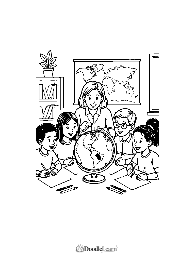
- Design a classroom world map — Grades 3–6. Objective: communicate geographic information collaboratively. Materials: Blank World Map, continent and ocean references, pencils, Classroom Geography Scene as a display prompt. Assign label-checking roles, build a shared key, and verify every name. Ask: which label or claim needed another source?
Discussion and assessment without a coloring test
Ask students to identify one feature, point to supporting evidence, or correct a misleading statement. A neat continent key does not prove someone understands projection, and a partly colored map may still show thoughtful geographic reasoning. Separate the visual task from the question you actually need to assess.
Use pair explanations when helpful: one student points while another reads a label, then switch roles. Offer an oral response instead of forcing extended handwriting. For older groups, a useful exit question is what information the worksheet cannot provide. Missing scale, absent borders, and projection distortion are valid observations, not faults students should repair by guessing.
Free geography worksheets and honest science connections
The gallery includes real Blank World Map, Seven Continents Map, Five Oceans, Compass Rose, Mountains & Valleys, Rivers & Lakes, Islands & Peninsulas, World Landmarks, Map Legend, Physical Geography, and Classroom Geography PDFs in US Letter and A4. The classroom scene is an illustration, not a reliable map-reading surface; use the Natural Earth maps for geometry.
No geography-specific learning pack is being claimed. The existing Water Cycle and Weather & Storms packs are optional science extensions for water features and precipitation, not replacements for map lessons. Follow their linked pages to review actual contents. Print only what you need and check that outlines remain inside the paper margins.
Use standard printer paper with pencils or crayons, or a printer-compatible heavier stock for markers. Preview before enlarging and avoid cropping a map edge or label. Keep a reference accessible during the lesson so asking for evidence becomes a shared habit rather than a memory test.
Frequently asked questions
How can teachers use coloring pages to teach geography?
Give coloring a purpose: classify land and water, follow a legend, locate a region, or compare features. Ask students to explain a choice using a reference, and assess reasoning separately from neatness.
What are the seven continents?
This guide uses North America, South America, Europe, Africa, Asia, Australia, and Antarctica. Other established models exist; Australia is the continent label here and Oceania is a broader region.
What are the five oceans?
Pacific, Atlantic, Indian, Arctic, and Southern are five named regions of one connected global ocean.
How do you teach compass directions to kids?
Start with north, east, south, and west on the compass rose, then add diagonals. Practice short routes on a marked grid and rotate the paper to distinguish directions from left and right.
What geography worksheets are suitable for kindergarten?
Try land versus water, mountains versus valleys, or islands versus peninsulas with pointing and adult-supported labels. Whole-world memorization and independent reading are not required.
Where can I download free printable world maps?
Use this page’s companion gallery for blank, continent-labeled, and ocean-labeled world maps in US Letter and A4. These are individual free worksheets, not an existing geography pack.
Research and further reading
Further reading from research and professional guidance. Study findings apply to their participants and tasks; professional guidance is not the same as a controlled experiment.
- National Geographic Education: Continent
Background on continents and conventional regional divisions.
- NOAA: How Many Oceans Are There?
Explains the connected global ocean and its five named regions.
- Natural Earth: Physical Vectors
Public-domain source for generalized land outlines, not national or agreed continent boundaries.
- USGS: Topographic Maps
Teacher background on representations of terrain and elevation.